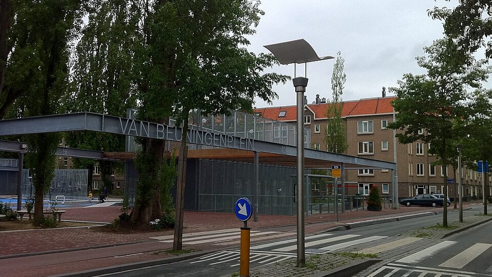
Woon- en Groengebied Sloterdijk● live
West · 1,501 residents
18.6%
natural green space
74x the Amsterdam average of 0.3%
#46 of all 518 neighbourhoods
Green space per resident83.3 m²
Tree density26.9
Natural green space18.6%
Neighborhood typeMany trees per hectare - plenty of street shade expected
Tree density compared with the neighbouring buurten
The buurten in wijk Sloterdijk-West
Tree density index per buurt: the real number of registered trees divided by land area, rescaled against the city average. Not measured canopy cover.
Did you know? The Coal Church: The Opstandingskerk is locally nicknamed the 'Kolenkit' for its coal-scuttle shape. (fact about Bos en Lommer)
Our proposal for this neighborhood: This buurt sits at or above the city average: the task is holding on to what is there as it densifies further.
Our own suggestion, not a municipal plan - no source exists for what still ought to be built.
Adopt a tree pit on your street and add more flowers for bees and butterflies.Adopt a tree pit →